
Walk the Yuma Street Directory
A street-by-street search works best as a chain. The first record should identify a parcel, not merely a name typed into a broad index. The Yuma County Assessor connects a situs address, meaning the actual parcel location, to an owner and parcel number. County GIS then confirms that the record points to the right shape on the map. Later sources add distinct facts. A deed proves a recorded transfer, while a directory entry associates a listed person with an address in one publication year.
- Normalize the house number, direction, street name, designation, unit, and ZIP before searching.
- Search the assessor, save the parcel number and legal description, and keep the situs and tax-mailing addresses separate.
- Open the parcel in county GIS, inspect nearby lots, and note the subdivision and city boundary.
- Use the owner and legal description in the Recorder index. Check permits through the correct city or county office.
- For a past listing, browse the verified address sections in Yuma's digitized directories and compare adjacent years.
That sequence limits false matches. It also shows why an owner list is not a list of all residents. The street directory can link official facts, but it cannot fill gaps with guesses about relatives, guests, or other people at the parcel.
Search Yuma Addresses in EagleWeb
The Yuma County Assessor EagleWeb portal offers free guest access to current assessment data. A surname can help, but the street directory is stronger when the search begins with separate situs fields. Yuma's numbered streets, avenues, direction markers, and units make field placement matter. Parcel numbers appear without dashes in the researched format, and advanced searches can use subdivision, lot, block, tract, section, township, range, class, or value ranges.
| Search control | Input | Best street use | Caution |
|---|---|---|---|
| Owner Name | Text | Confirm a known owner or business | Try name variants |
| Situs Address | House and street parts | Locate the physical parcel | It is not the mail address |
| Parcel Number | County identifier | Return to an exact mapped lot | Punctuation may matter |
| Account identifier | Text | Open a known assessment account | Not a household number |
| City/Zip | Place filter | Narrow a broad street search | A ZIP does not prove city limits |
A parcel card may show owner and mailing names, situs address, parcel/account number, legal description, tax area, values, classification, transfers, and some building traits. Identical situs and mailing addresses can support an owner-occupancy theory, but they still do not prove who sleeps there.
For a broad street sweep, omit the house number only after testing one known parcel. Narrow with City/Zip and the exact street designation. The portal's result limit and pagination behavior were not verified, so a result set should not be presented as a complete roll of the street. When an entry looks wrong, return to the parcel number from GIS. Older assessment snapshots or a class question belong at the assessor counter, where staff can supply the record without being asked to infer a household.
Browse Yuma Streets on GIS
The Yuma County GIS page and its parcel viewer supply the map step that a text index lacks. Search the target address, zoom until parcel boundaries appear, click the parcel, and record its APN, legal description, subdivision, and jurisdiction. Then click nearby polygons one at a time. No official automated “all neighbors” control was verified, so a careful street sweep is a map-browse task.
The live Yuma County interactive map is shown below as the page's map source.
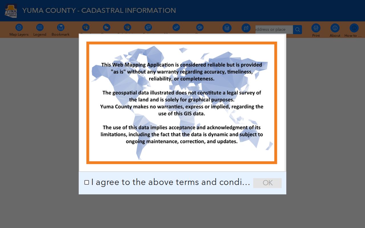
The map view adds parcel shape and surrounding-lot context, which helps prevent a similar address or the next numbered lot from being mistaken for the target.
City of Yuma GIS adds address points, street centerlines, zoning, subdivisions, annexations, and floodplains. Those layers decide whether a Yuma mailing line falls inside city jurisdiction. Infrastructure layers supply place context, but they do not identify utility customers.
Compare Yuma Street Records
No single Yuma street record answers every question. Each custodian records a different event or legal relationship. The parcel number joins assessment, map, tax, and permit material. A legal description provides the more durable bridge into deeds. Names in a directory or lawful voter record address different facts and must not be treated as a complete household roll.
| Address source | Custodian | Street clue | Access route |
|---|---|---|---|
| Assessment record | County Assessor | Owner, situs, APN, values, transfer history | EagleWeb or assessor counter |
| Parcel map | County and city GIS | Boundaries, nearby parcels, subdivision, jurisdiction | Free browser maps |
| Recorded instrument | County Recorder | Grantor, grantee, deed, lien, plat | Index, counter, or copy request |
| Development file | City or county | Permit, plan, inspection, site chronology | Community Connect or defined request |
| Historic directory | Arizona Memory | Publication-year name, address, and phone | Digitized 1948, 1949, 1951–1963 run |
The assessor counter at 197 S. Main Street, Suite 201, can help with older snapshots or records not exposed online. The office is open weekdays from 8 a.m. to 5 p.m. and answers at 928-373-6040. Ask for the record tied to an address or APN, not for a conclusion about occupancy.
Read the Yuma Street Grid
Yuma uses numbered east-west streets and north-south avenues. Official references include 1st, 8th, 16th, 24th, 32nd, 40th, and 48th Streets, 4th Avenue, lettered avenues to the west, and east or fractional avenues. The city street index also equates Avenue 2E with Pacific Avenue and Avenue 6E with Araby Road. Preserve both forms when a record or map uses an alias.
- Parcel
- A mapped unit of land identified by a county parcel number.
- Situs address
- The address of the physical property, which may differ from the owner's tax-mailing address.
- Plat
- A recorded map that lays out lots, blocks, streets, or a subdivision.
- Criss-cross directory
- A directory arranged by address or street rather than only by a person's surname.
The grid continues outside the city. A street name and Yuma postal line therefore cannot select the permit office by themselves. Check the annexation or incorporated-boundary layer first.
A careful search log should retain the form found in each source. Write down the prefix or suffix direction, avenue alias, unit, rural route or box, subdivision, lot, block, and APN. Do not silently force an old form into today's spelling. That practice makes later deed and directory comparisons easier to audit.
Yuma Street Permits by Jurisdiction
For a parcel inside the city, Community Development maps permits, plans, inspections, and business-license cases through Community Connect. An address or place search locates a case, map controls reveal nearby activity, and a feature click opens available attributes. Building staff answer at 928-373-5163, Planning at 928-373-5175, Neighborhood Services at 928-373-5187, and Inspections at 928-373-5170.
Outside city limits, Yuma County Development Services keeps parcel site plans and permits, mostly after 1975, at 2351 W. 26th Street. Copies may carry a nominal fee. If the city map omits an older file, send a narrow address-and-date request through the City Clerk or relevant department. Police, emergency medical, and Municipal Court records use their own request channels.
A permit may name an owner, applicant, designer, or contractor. It dates work at a place. It does not establish that any named party lived there.
Follow Yuma Deeds by Address
The Yuma County Recorder keeps deeds, deeds of trust, liens, releases, plats, and other instruments. Street addresses are weak historical index keys. Begin with the owner and legal description from EagleWeb, then search parties and instrument identifiers. A grantor is the party transferring or encumbering an interest. A grantee receives or benefits from that interest.
When the online image or index does not finish the search, the Official Copy Request form accepts document type, date, names, grantor, grantee, book/page, or fee number. Searches may take up to ten working days. Copies cost $1 per page, with $3 added for certification. Mail requests need requester contact details and a self-addressed stamped envelope.
Recorder tip. Staff can retrieve a known instrument, but the official form states that the office will not conduct a chain of title.
Yuma Street Names Can Shift
Historic Brinley Avenue is modern Madison Avenue. Search both names when an old deed, directory, legal notice, or map seems to vanish from the current street directory. The legal description often survives that street-name change and can reconnect the old source to today's parcel.
Building continuity also needs proof. Yuma's last major Main Street flood occurred in 1916, and much of Main Street's current building stock dates from the 1920s. Sheltered Madison Avenue retains earlier fabric. A stable block location may hold a newer building, so an old resident should not be assigned to the present structure without map, permit, or title evidence.
For historical occupants, the verified Yuma Directory Co. run covers 1948, 1949, and 1951 through 1963. The collections and entry abbreviations are treated in detail on the Yuma city directory page.
Voter Records Along Yuma Streets
My.Arizona.Vote is a self-service identity check, not a public name-only street browser. It requires county, last name, date of birth, an identification method and number, or a residence-address mode, plus reCAPTCHA. A result may show the voter's status, districts, notices, ballot-by-mail status, and participation history. It never shows ballot choices.
A fuller file request is governed by Arizona law and requires an authorized purpose. Yuma County's form covers a person's own registration, defined election uses, district revision, supervised government inspection, petition or candidate work, news gathering, and aggregate data. Payment comes first, and processing may take up to 30 days. Protected addresses and confidential identifiers stay out. This access path cannot serve as an open street directory.
Note: The researched form quotes $93.75 plus $0.0005 per record for requests covering 1 through 124,999 voter records.
Yuma Records Need Exact Keys
A 2023 KoFile preservation project identified Yuma County official historical records from 1864 through 1993. During affected retrieval work, precise docket/page or document numbers were needed, and a request could take up to five business days. That history explains why a parcel's legal description and every deed citation should be saved as the street search moves backward.
The Recorder currently lists 298 S. Main Street as its new location. Staff are available weekdays from 8 a.m. to 5 p.m. at 928-373-6020 or Recorder@yumacountyaz.gov. The office also promotes Recording Alert, which lets an owner monitor newly recorded activity connected to a chosen name.
Note: An online index is a guide to the official instrument, so confirm a critical entry from the image or custodian copy.
Limits of Yuma Street Records
A Yuma street directory cannot enumerate every person at a home. Assessment records identify ownership interests. A deed names parties to one recorded act. Permit files document a project, and historical directories capture publication-era listings. Each may omit family members, short-term occupants, people who did not subscribe, or a person protected by a confidentiality rule.
Mailing addresses can point to a post office box, manager, or another property. Multifamily parcels and common areas also break the simple idea that the next parcel equals the next household. Arizona's Address Confidentiality Program protects qualifying people through a substitute address and mail forwarding, and restricted voter fields must remain withheld.
Lawful use. Use Yuma address records for lawful personal research, family history, fraud prevention, and civic inquiry. Never use them to stalk, harass, intimidate, or harm anyone.