
Map Yuma ZIP Code Roles
Four postal roles shape a practical Yuma ZIP code directory. One covers much of the historic and central city, another reaches east and south into outlying county areas, a third identifies the Foothills and Fortuna side of the region, and a fourth serves the Marine Corps Air Station. These are mailing patterns. They are not legal city boundaries or complete resident rolls.
| Yuma ZIP | Area or role | Postal facility | Research caution |
|---|---|---|---|
| 85364 | Historic, central, and western Yuma | Yuma Post Office | Ordinary delivery and PO boxes; verify each address |
| 85365 | Eastern, southern, and outlying county localities | Yuma MCAS Post Office | Extends outside the city, including Martinez Lake examples |
| 85367 | Foothills and Fortuna east of the core | Yuma Foothills Post Office | Mostly outside the core city; ZCTA is not a postal boundary |
| 85369 | MCAS Yuma installation mail | Installation context | Special military role, not an ordinary neighborhood area |
The table is a starting frame. USPS should confirm current delivery for a specific address. County or city GIS should then determine jurisdiction. The Assessor ties a situs address, meaning the parcel location, to the current assessment account, but its mailing address may point somewhere else.
Yuma ZIP Code 85364
85364 serves historic, central, and western parts of Yuma. City Hall and Yuma Main Library provide familiar civic anchors within this postal area, but the code still covers more than one named neighborhood. Never infer a precise district or household from the code alone.
The Yuma Post Office details identify the facility at 2222 S. 4th Avenue:
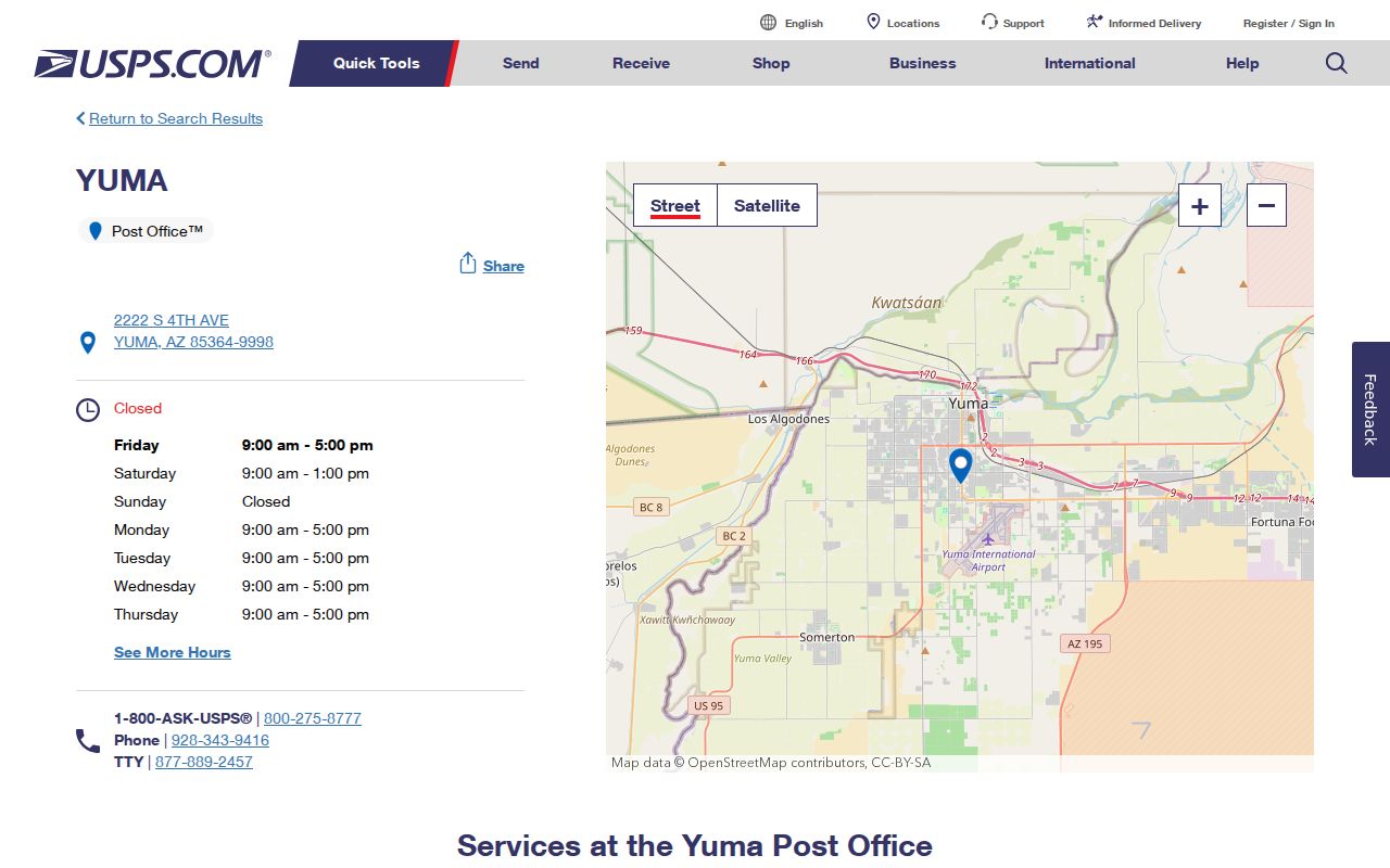
The official station screen confirms the facility and services, while address lookup remains the right test for a particular delivery point.
Yuma’s numbered grid can help orient an address, yet it does not settle jurisdiction. Streets run east to west, while avenues run north to south. The same regional grid continues beyond the incorporated line.
Official indexing also preserves aliases that may not match casual speech. Avenue 2E corresponds with Pacific Avenue, while Avenue 6E corresponds with Araby Road. Keep both forms when a parcel or old notice uses the numbered avenue and a current mailing label uses the named road.
Yuma ZIP Code 85365
85365 is the strongest warning against treating a Yuma postal line as a city boundary. It reaches through broad eastern and southern parts of the area and into county localities. Martinez Lake examples use “Yuma, AZ 85365” even though the place is outside the City of Yuma.
This mismatch changes the access channel. A parcel inside the city uses city permitting and code sources. A county parcel uses county development channels. The Recorder, Assessor, Treasurer, Clerk, and county voter services still work countywide. Military or federal land adds another custodian layer.
The National Park Service’s Yuma geography overview gives useful context for the river crossing and the development of the old city:
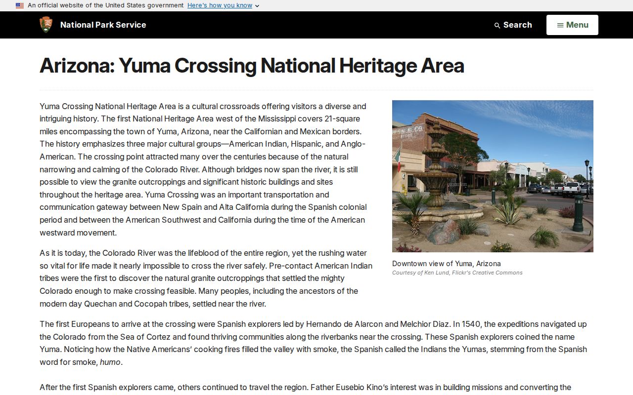
That regional setting helps explain why postal identity, historic settlement, federal sites, and today’s incorporated boundary do not form one neat shape.
Yuma ZIP Code 85367
85367 is associated with the Foothills and Fortuna area east of central Yuma. Research found a 2020 Census ZIP Code Tabulation Area population of 21,303, but that figure belongs to a ZCTA. A ZCTA is a Census approximation built for statistics, not the live USPS delivery boundary. The Census QuickFacts profile is citywide and must not be treated as a ZIP population.
The Census Bureau’s ZCTA explanation shows how the statistical geography differs from postal operations:
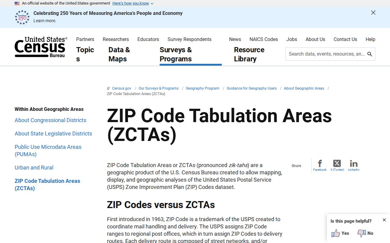
The distinction keeps demographic data in its proper role. Use ZCTA figures for area-level context, then use USPS for delivery and GIS for the parcel or city line.
Because the Foothills and Fortuna area sits beyond the old urban core, address research should preserve every road direction, unit, route, subdivision, and parcel number. A shortened free-form address can miss an official assessment entry.
Yuma ZIP Code 85369
85369 functions as an installation mailing code for MCAS Yuma. It should not be described as an ordinary neighborhood slice. Military residents may appear briefly in historical sources, sometimes under rank, initials, a base address, or a post-office box.
The mailing role also explains why city, county, and federal sources can overlap without being interchangeable. USPS can verify delivery. County property tools describe taxable parcels where applicable. Installation or federal records remain with their own custodians. A single 85369 result does not identify a private household or establish who occupied a base address at a given time.
Note: Treat 85369 as installation mail first, then identify the record keeper required by the exact research question.
Find Yuma Residents by ZIP
A careful Yuma ZIP code directory search begins with an exact address, not a broad assumption about everyone in an area. USPS confirms the mail code. EagleWeb can then narrow assessment accounts through its verified City/Zip field. The result describes property accounts that match an address field, not the whole population.
- Enter the full address in the official USPS tool and record the standardized postal form.
- Use EagleWeb’s City/Zip field with an owner, business, parcel, or street clue when available.
- Open the matching parcel in county or city GIS and check jurisdiction, subdivision, and annexation context.
- Choose the city, county, state, military, or federal custodian that holds the underlying record.
- When the work narrows to one road, continue with the Yuma streets lookup.
The USPS ZIP Code Lookup is the final authority for current delivery:
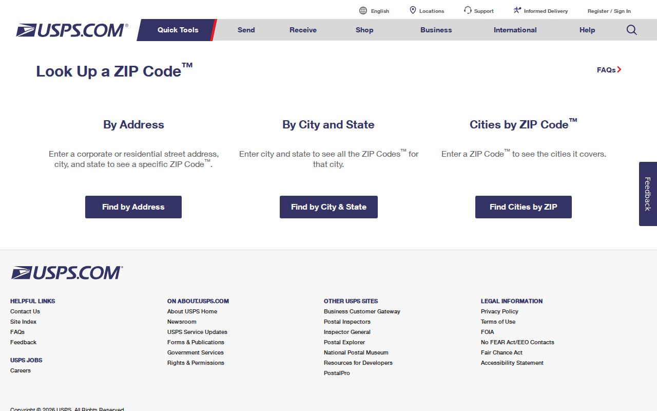
The form turns a local address or city-and-state query into an official postal check before public records are searched.
Filter Yuma ZIP Code Records
Yuma County Assessor EagleWeb offers the verified local ZIP-capable field. It also accepts much more precise keys, which help prevent a broad postal result from being mistaken for a directory of occupants. Guest access is free, and the portal describes current ownership, sales, tax, and assessment history.
| EagleWeb field | Input type | Format or use |
|---|---|---|
| City/Zip | Address filter | Pairs a city or postal code with other parcel criteria |
| Owner Name | Name | Last Name First Name |
| Parcel Number | Identifier | Enter without dashes |
| Situs parts | Structured address | House number, direction, street, designation, unit |
| Subdivision or legal fields | Advanced filter | Lot, block, tract, section, township, and range |
GIS can map the returned parcel and current city boundary, but no verified USPS ZIP layer was documented in the official viewer. Community Connect plots development cases yet has no verified ZIP filter. Use each portal for the field it actually supports.
EagleWeb’s designation menu is structured rather than free form. It includes common types such as Avenue, Boulevard, Circle, Court, Drive, Highway, Lane, Parkway, Place, Plaza, Road, Street, Trail, Vista, View, and Way, plus directional variants. Preserve the house number, prefix or suffix direction, street type, unit, rural route or box, subdivision, lot, block, and parcel number whenever they appear. Those details can recover a match that a loose address query misses.
Compare Yuma ZIP and ZCTA
Several geographic terms look similar in search results but answer different questions. Keeping them separate prevents a postal match from being stretched into a claim about city residence, population, or a specific delivery route.
- ZIP Code
- A USPS routing code for mail delivery, not a municipal boundary.
- ZIP+4
- A more precise USPS extension that can identify a smaller delivery segment.
- PO-box ZIP
- A postal code or use centered on mail received at boxes rather than mapped homes.
- Unique ZIP
- A code assigned to one large organization or installation rather than a normal neighborhood area.
- Carrier route
- A mail-delivery path within a postal area; it is not a resident roster.
- ZCTA
- A Census statistical approximation of a ZIP-like area, designed for data reporting.
Postmaster Finder’s historical search is not a replacement for the current address tool. Likewise, a ZCTA count should never be presented as the number of people receiving mail in an exact live postal boundary.
Yuma ZIP Limits and Jurisdiction
ZIP boundaries, Yuma city limits, subdivisions, precincts, census areas, and legal descriptions are separate layers. The City GIS division maintains address points, street centerlines, subdivisions, annexations, zoning, and floodplain context. County GIS provides parcel and ownership mapping. Neither should be described as certifying USPS delivery.
Arizona voter self-service adds a different limit. My.Arizona.Vote lets a person verify personal registration using identifying information. It is not a public browse-by-ZIP roll. An authorized voter file may carry residence or mailing ZIP data under A.R.S. § 16-168, subject to a stated purpose and confidentiality rules, but that request channel is distinct from the self-service screen.
A Yuma ZIP code directory can narrow the map. It cannot prove occupancy, title, voter status, or city jurisdiction by itself. Keep the standardized USPS address, mapped parcel, legal description, and office response as separate pieces of evidence.
When no portal answers the question, contact the proper custodian. City records requests should name the department, record type, address or person, and date span. County parcel and development staff handle county-side files. Arizona Public Records Law allows inspection during office hours subject to confidentiality rules and the state’s balancing test, but a postal code never shifts a record from its actual keeper.